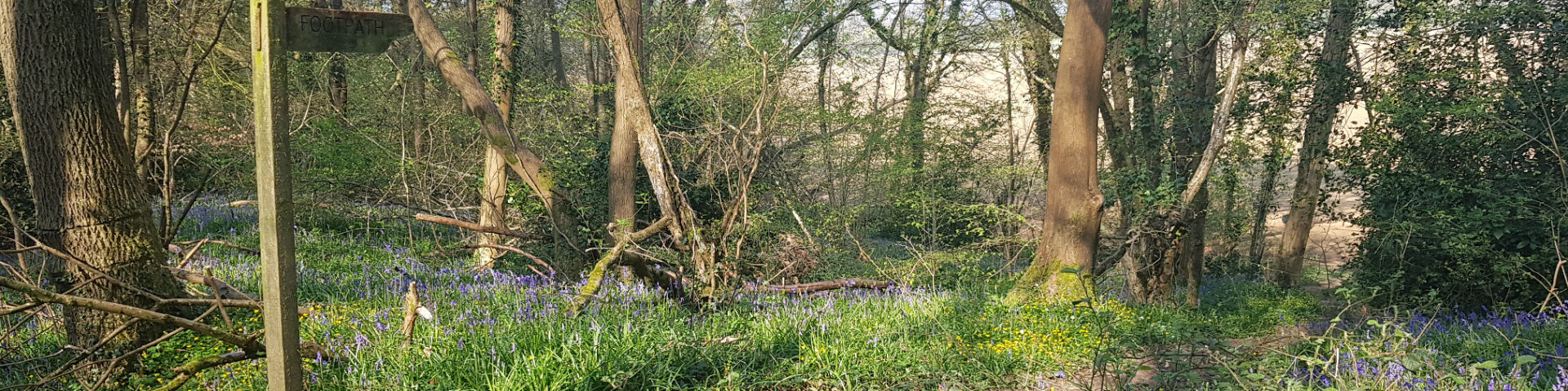
Braishfield Footpaths – a guide
Braishfield has a very long history as a scattered settlement; a timeless alliance between man and his environment. Some paths are connecting links that predate our modern road system. Some rights of way are unadopted roads; Parnell Lane and Fernhill Lane (13) are examples, others are links between highways over drier ground (8, 4 & 9) and there are Church paths (12 & 4). On foot distance matters! The Church is a good starting point.

Jill Fahy (now sadly deceased) described her favourite walk here.
Please contact Julie Benson by email
Official Rights of Way: Through the web site www.hants.gov.uk/row the latest maps under the Definitive Map of Public Rights of Way 2008 Act are available with Braishfield being South Braishfield 0912 and North Braishfield 0913 but the neighbouring plans are also there for anyone walking further afield. Copies can be obtained from the Romsey Library (A4 size only)
The Definitive Statement of public Rights of Way giving details of each walk is also on the same web site and the Braishfield pages are 110-112.
Monarch’s Way passes through the village. It is Britain’s second-longest signed walking trail, a lengthy (615 miles), meandering route following the supposed flight of Charles II after his defeat at the Battle of Worcester in 1651, and including many sites of historic interest. From Worcester it first turns north to Boscobel, south via Stratford upon Avon, the Cotswolds, Bristol and the Mendips to Charmouth, then east along the South Downs to Shoreham where Charles finally escaped to France.
Clarendon Way passes just north of the village. A 24 mile walk joining the two Wessex cities of Winchester and Salisbury. The Clarendon Way crosses the Test Valley between Kings Somborne and Houghton. It starts beside the waters of the Itchen in the heart of Winchester and ends near the Avon at Salisbury Cathedral. It provides a splendid variety of scenery along the way, ranging from the water meadows of the valleys with their charming villages through woodland – ancient as well as modern – to downlands with far-ranging views.
The Clarendon Way is named from Clarendon Park on the eastern edge of Salisbury. The Park contains the site of Clarendon Palace, a royal hunting lodge for Norman Kings, but later expanded by the Plantagenets into a great county house. Almost nothing remains now, only a few feet of flint wall lying a few yards from the Clarendon Way